Kumano
Kodo
Iseji Route — the eastern pilgrimage
The Iseji had been walked for devotion for a thousand years before I arrived with a protocol. By the final days, the distinction had dissolved.
The no-duplicates axiom of The 8 Museum — each 8 photographed only once, never revisited — exerts a structural pressure toward movement. As local environments become familiar, saturated with already-documented 8s, the practice compels travel: to new suburbs, new cities, new countries. The Kumano walk emerged partly from this pressure, and partly from the recognition that the Kii Peninsula's ancient pilgrimage network was, in itself, a deeply legible form of hachidō — sustained, devotional walking through landscape as a practice of self-cultivation and attention.
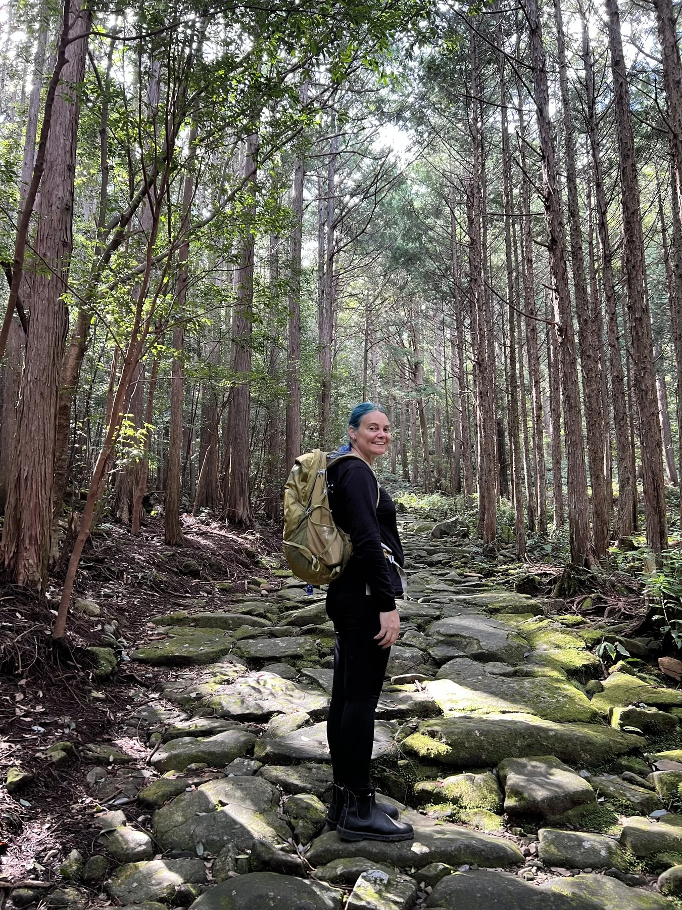
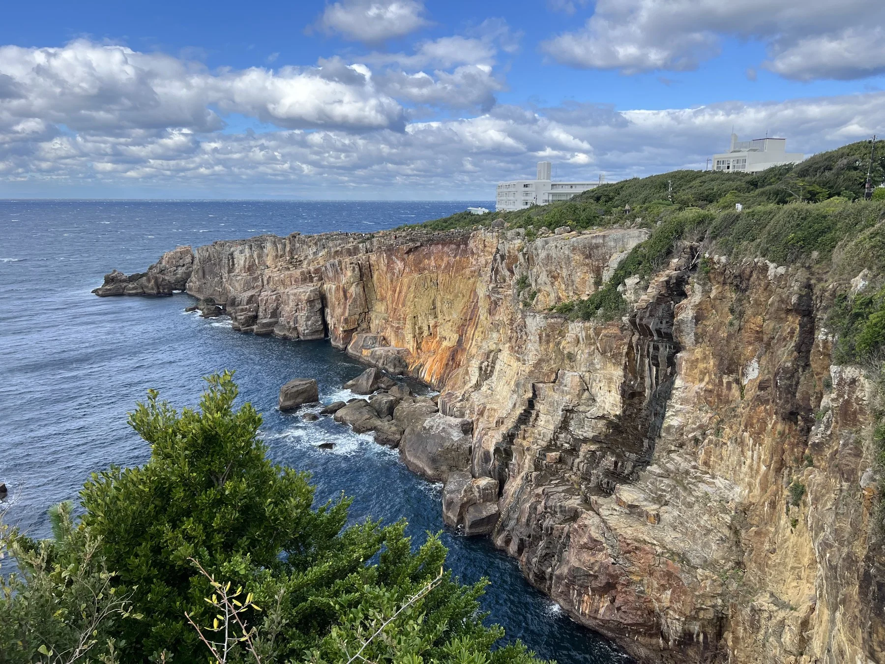
The Iseji (伊勢路) is the eastern route of the Kumano Kodo — approximately 170 kilometres from Ise Grand Shrine, on the northeastern tip of the Kii Peninsula, to Kumano Hayatama Taisha in Shingu. It follows the Pacific coastline of the Kumano-nada before turning inland through some of the densest and most demanding mountain terrain on any of the Kumano routes. Where the more popular Nakahechi crosses the peninsula on inland ridges, the Iseji hugs a different geography: fishing ports, sea cliffs, the spectacular gorge of the Dorohatcho, and three significant mountain passes — one of them, Yakiyama, the highest point on the entire network at 640 metres. Ten days in late October and early November — the tail end of bear season, the beginning of autumn colour. Bear precautions became part of the walk's daily rhythm: bells on the pack, clapping at intervals, singing or playing music through the darker and rainier forest sections. Bear scat on the path, twice. It was also the first return to Japan since the six years I lived there between 2010 and 2017 — long enough that arriving felt, in certain respects, like a first visit.
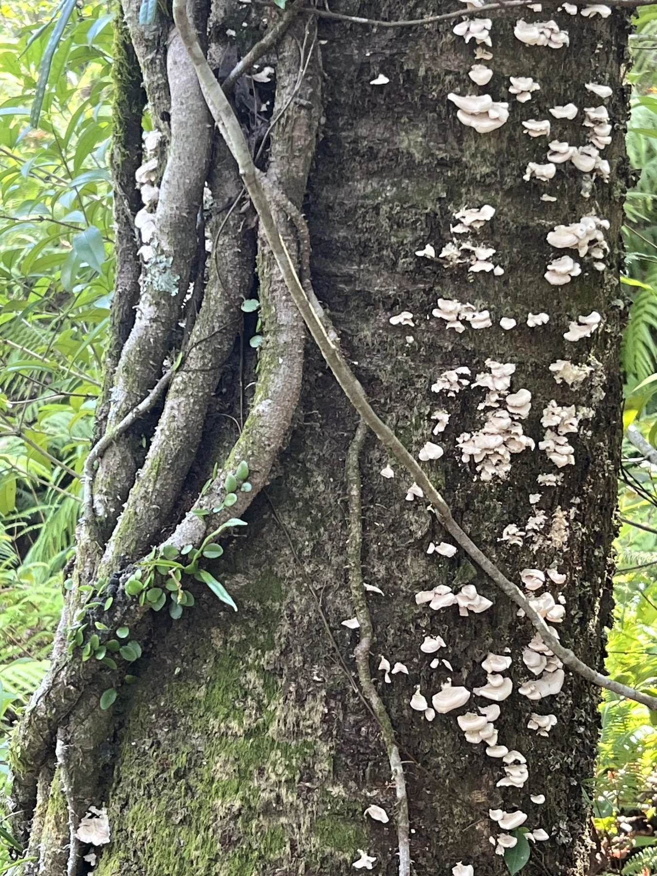
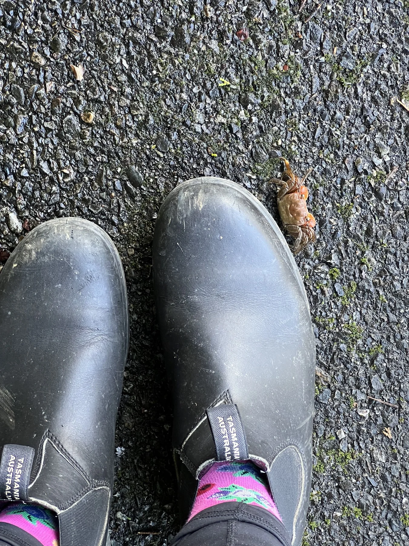
Three practices ran simultaneously throughout: the walk itself; hachidō captures wherever the 8s appeared; and documentation of found forms for Still Warm, the cabinet of curiosities that archives biological and material remains encountered in their place, without removal. By the final days, the boundaries between these practices had dissolved. Every step was all three things at once.
Entering the Forest
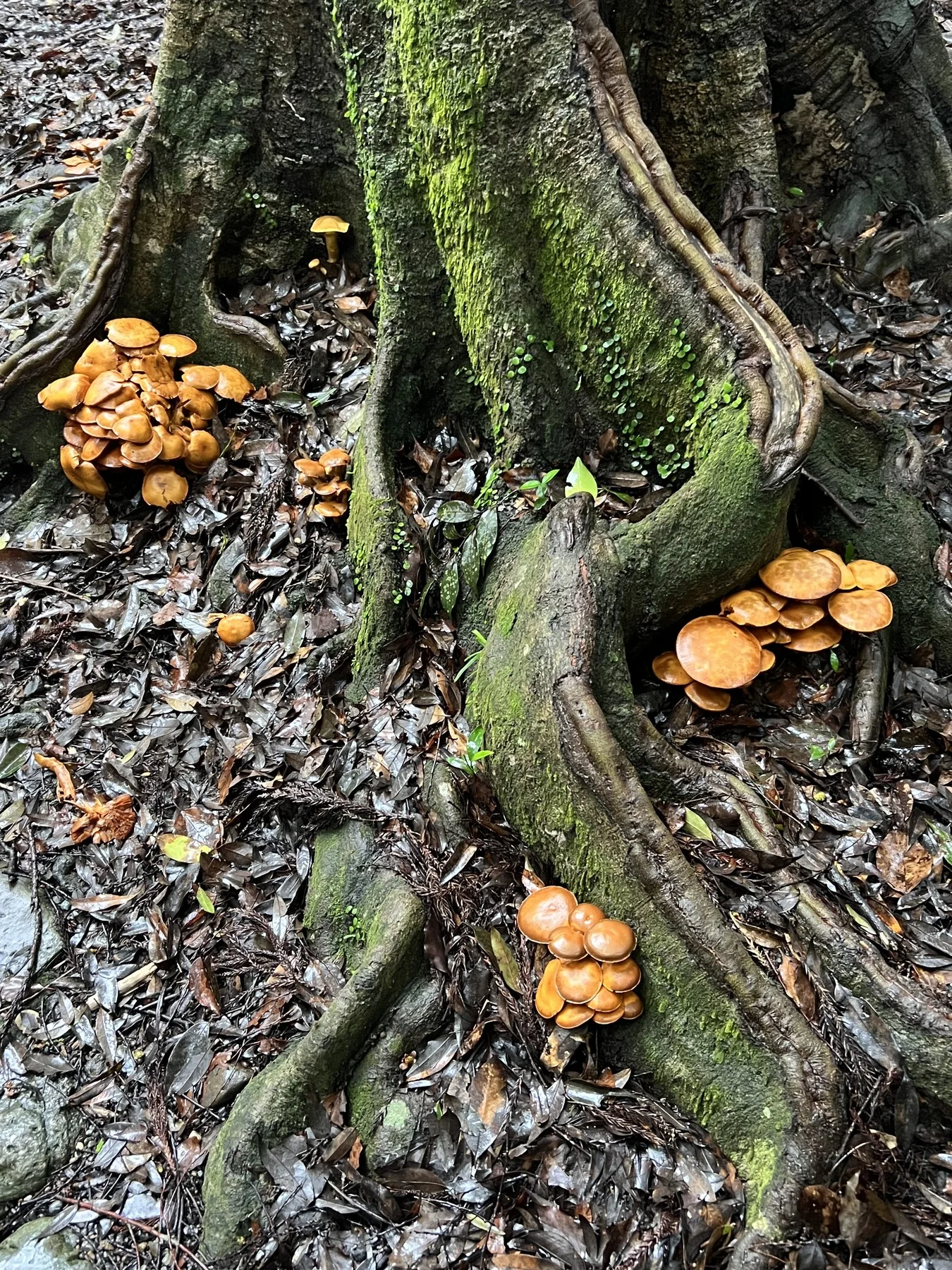
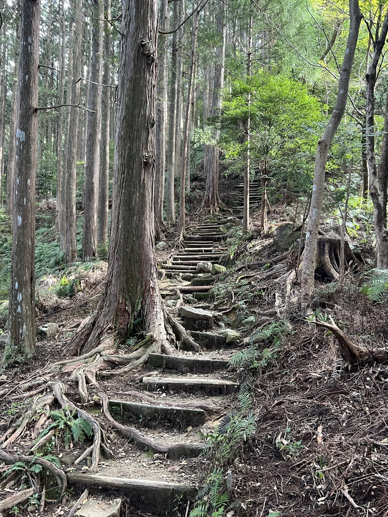
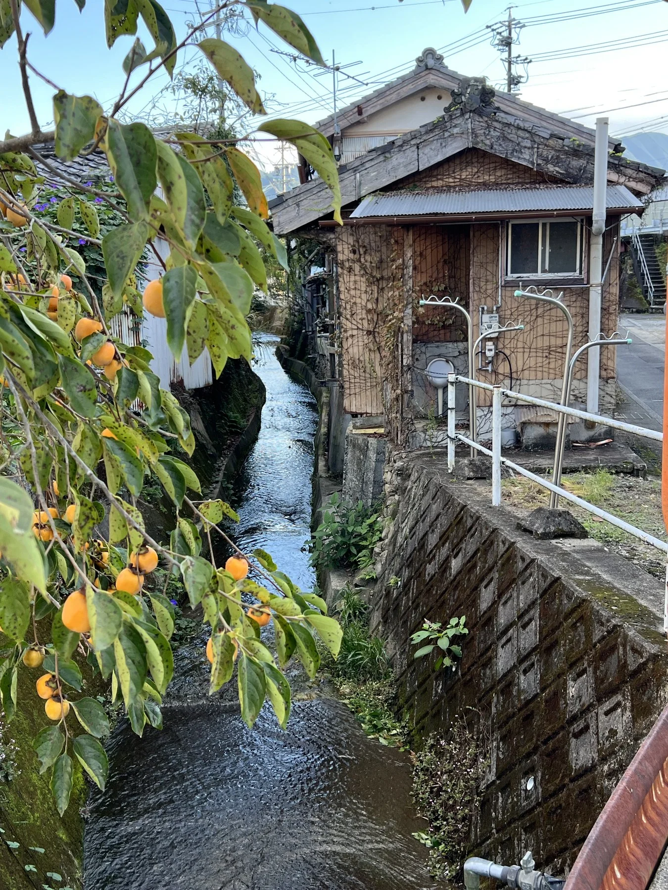
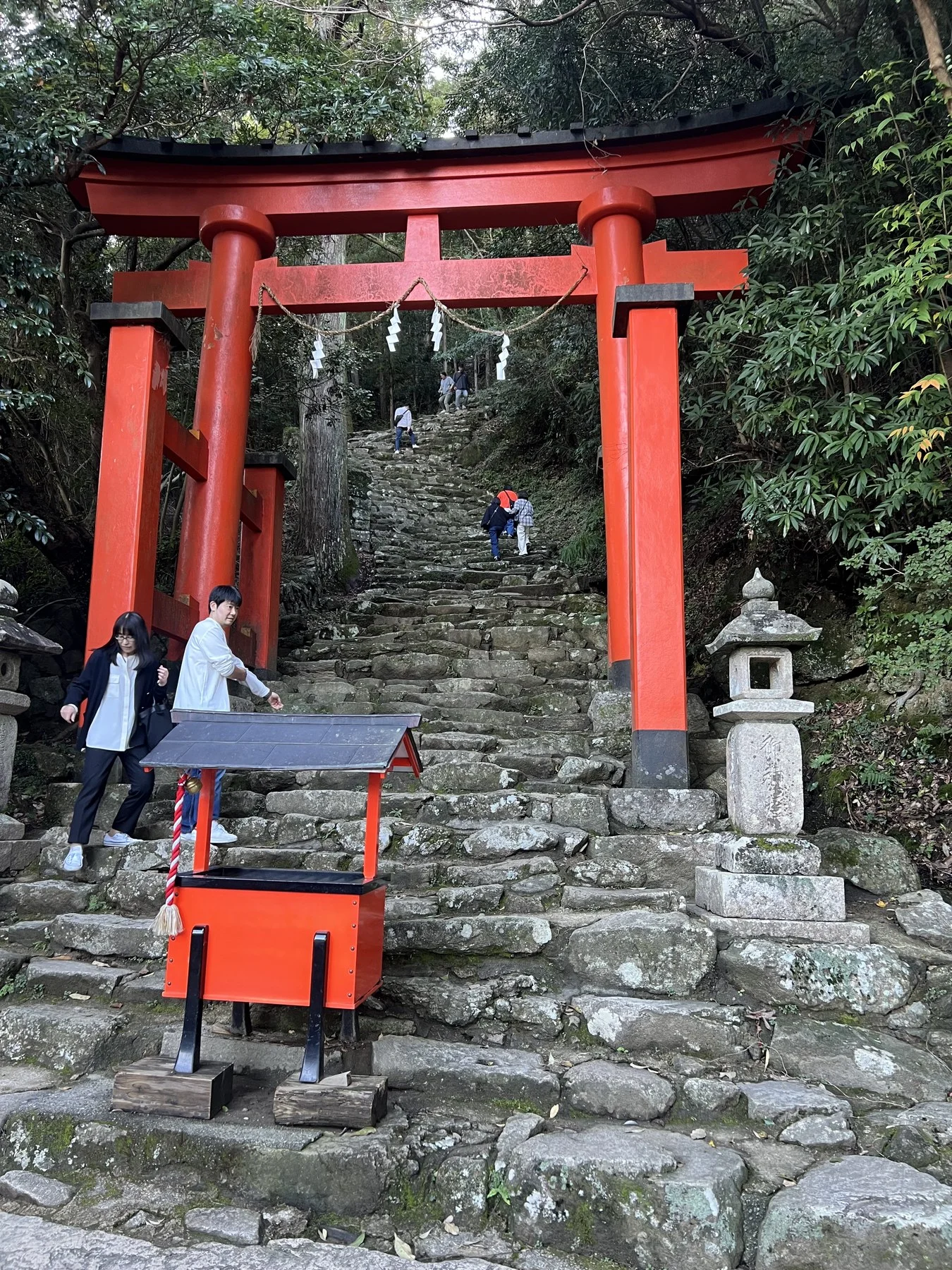
The early days follow the coast and river valleys, the path moving from sea level to the first mountain passes. The stone-paved sections — some worn smooth by centuries of pilgrim feet — enforce a deliberate pace. You look down. You notice: mushrooms clustered at root buttresses, moss colonising the joins between stones, the particular quality of light that filters through cedar canopy when the forest closes around the path. Then, suddenly, the first serious climb: the mountain ahead, the path steepening, the fishing port disappearing below.
The Practice Within the Practice
Matsuo Bashō, preparing for the journey that became Oku no Hosomichi, wrote of casting away earthly attachments before he could walk. "Go to the pine if you want to learn about the pine or to the bamboo if you want to learn about the bamboo." The instruction is methodological: direct encounter, unmediated by preconception, is the only form of knowledge that matters.
The hachidō protocol operates on a similar premise. The eleven axioms are designed to produce conditions of genuine encounter — to slow the practitioner down enough that an 8 arrives as a presence rather than being extracted as a data point. Walking the pilgrimage routes amplified this: already moving slowly, already in a state of heightened attention, already disposed toward noticing. The 8s arrived differently here. More slowly. As if they had been waiting.
Coast and Mountains
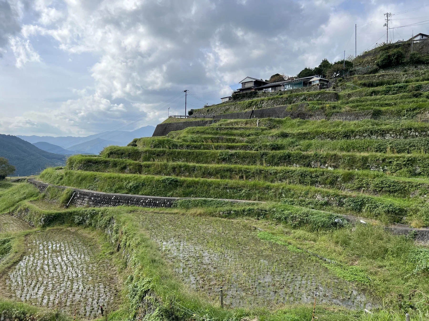
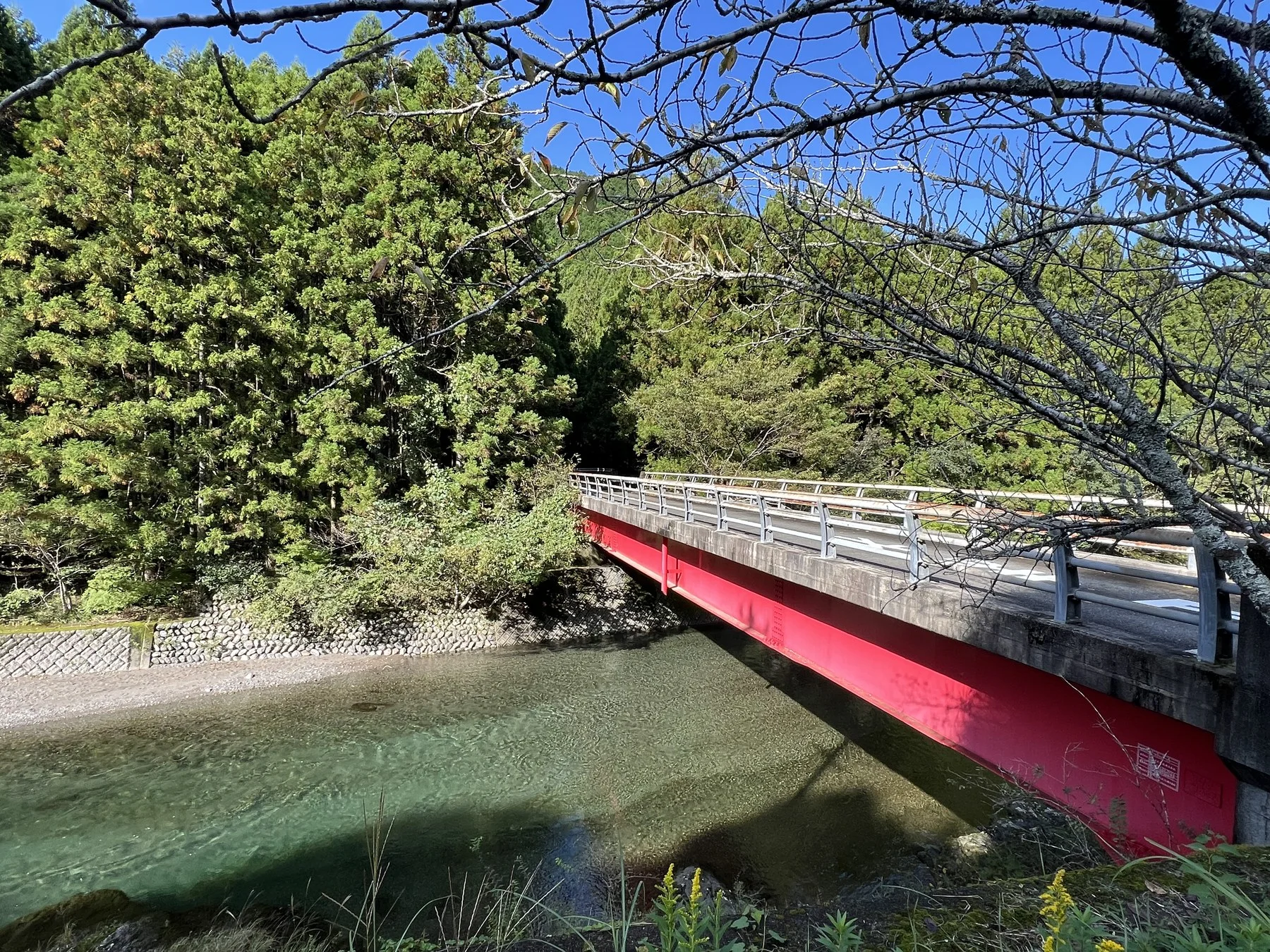
The Iseji moves between registers: open coastal views giving way to dense forest, then sudden climbs into mountain terrain, then back to the coast at a different elevation. The terrain doesn't let you settle into a single mode of attention. Each transition requires recalibration.
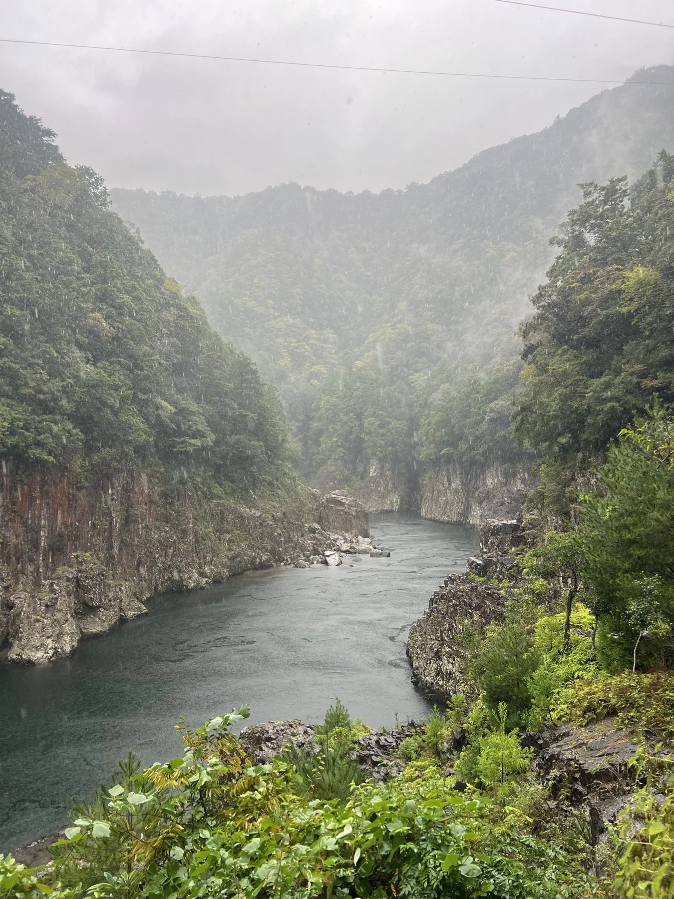
Day six brought rain and the Nachi-gawa gorge — the river running dark green between ochre and grey cliff walls, the far mountains lost in low cloud. A kind of weather that reorganises scale: suddenly the body feels very small, and the walk feels very long, and both of these feel correct.
Shingu — Arrival
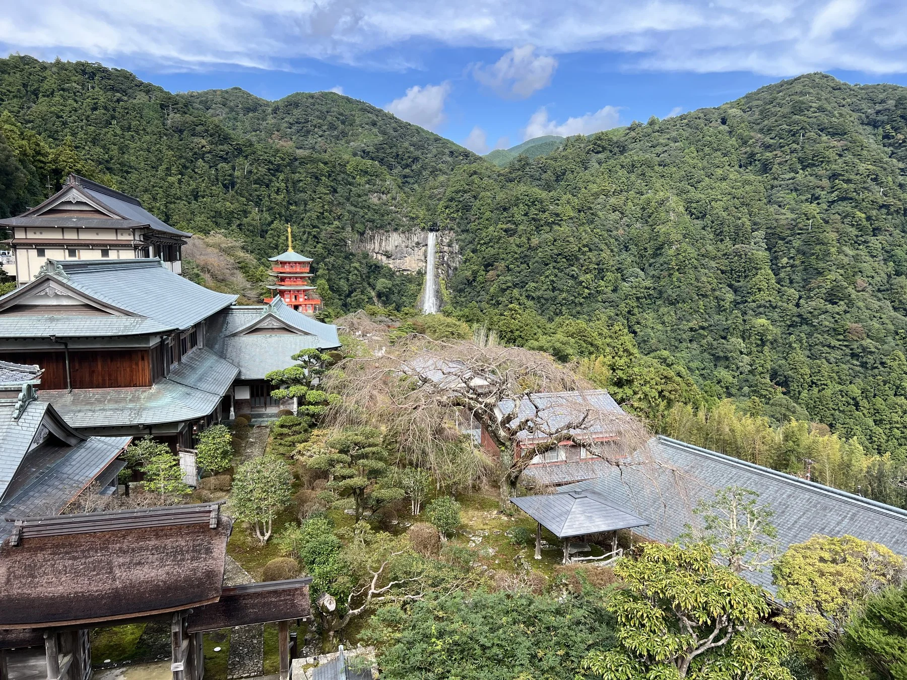
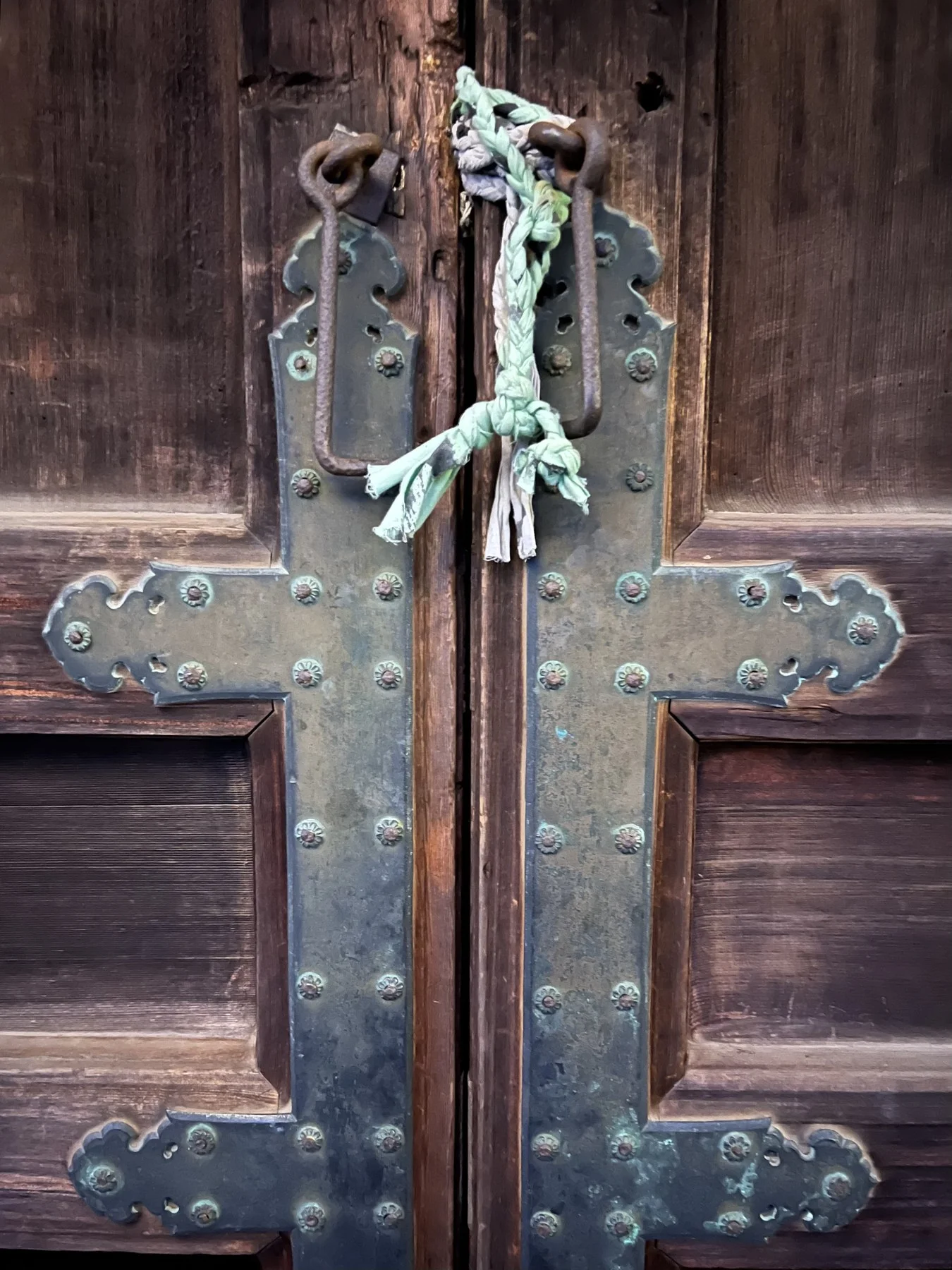
The Iseji converges on the Kumano Hayatama Taisha — one of the three Grand Shrines that form the spiritual destination of the pilgrimage network, sited on the banks of the sacred Kumano River in Shingu. Vermilion buildings, ancient camphor trees, the river wide and slow behind the shrine complex. Pilgrims have been arriving at this place for over a thousand years. The arrival still works.
"Each photograph is an act of noticing — a record of human-scale attention in a world that increasingly privileges automated perception."
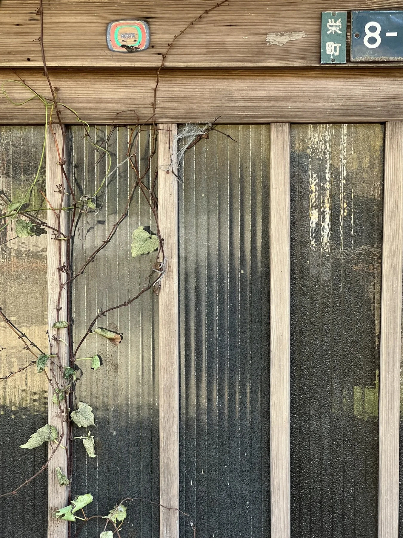
The 8s kept appearing throughout the walk — on signage, on the sides of buildings in fishing villages, on infrastructure. The pilgrimage route and the hachidō protocol turned out to be performing the same operation: slowing movement to the pace at which things become visible, and treating each encounter as worth pausing for.
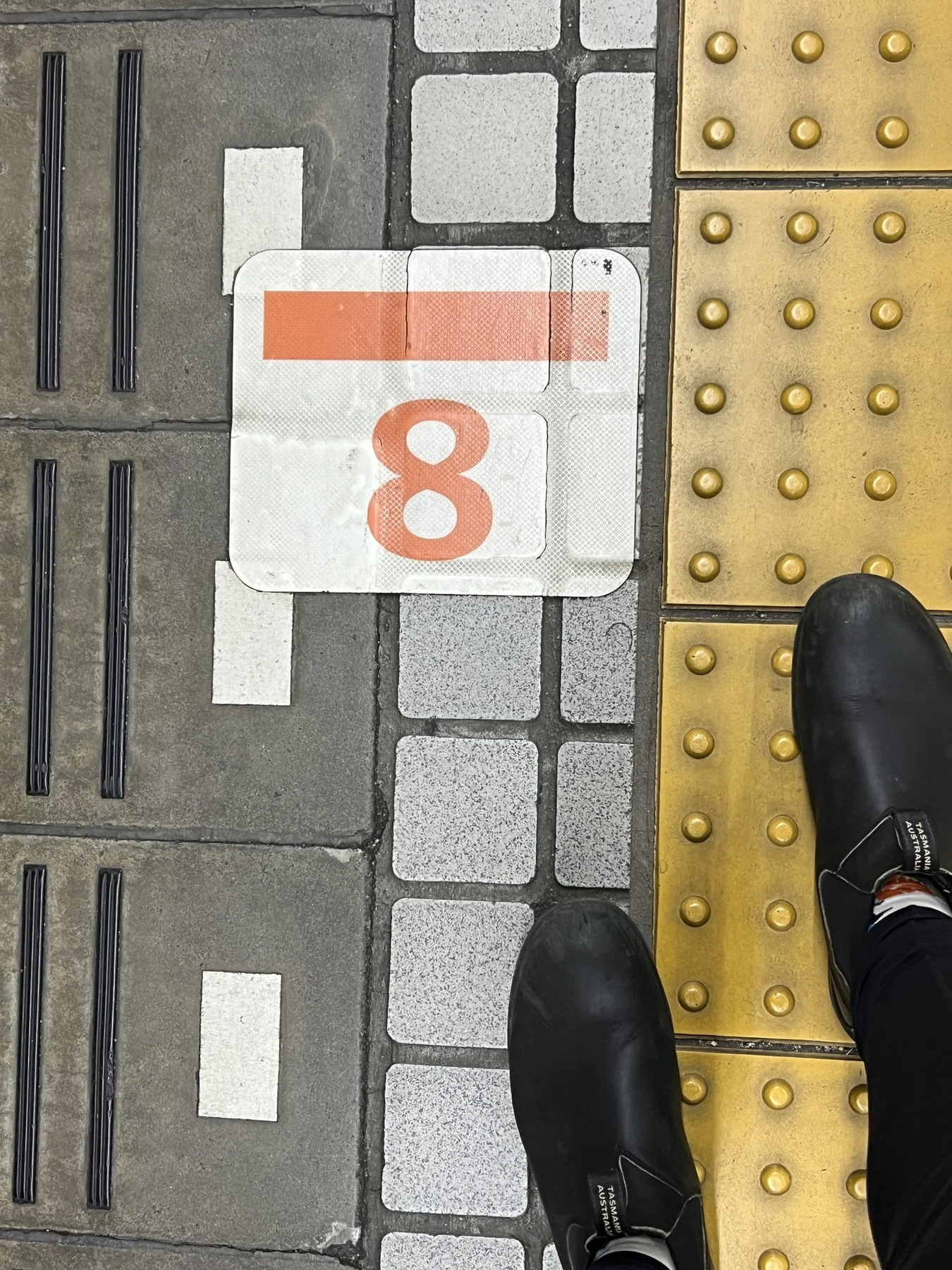
This one arrived on a transit platform: an orange 8 on a white sign, yellow tactile paving, the weight of the pack still registering in the shoulders. Found in situ, photographed without staging, added to the archive. Axiom 2 satisfied. Axiom 11 doing its work automatically: the GPS coordinates and timestamp recorded in the same moment as the image. Another 8 in the permanent record.
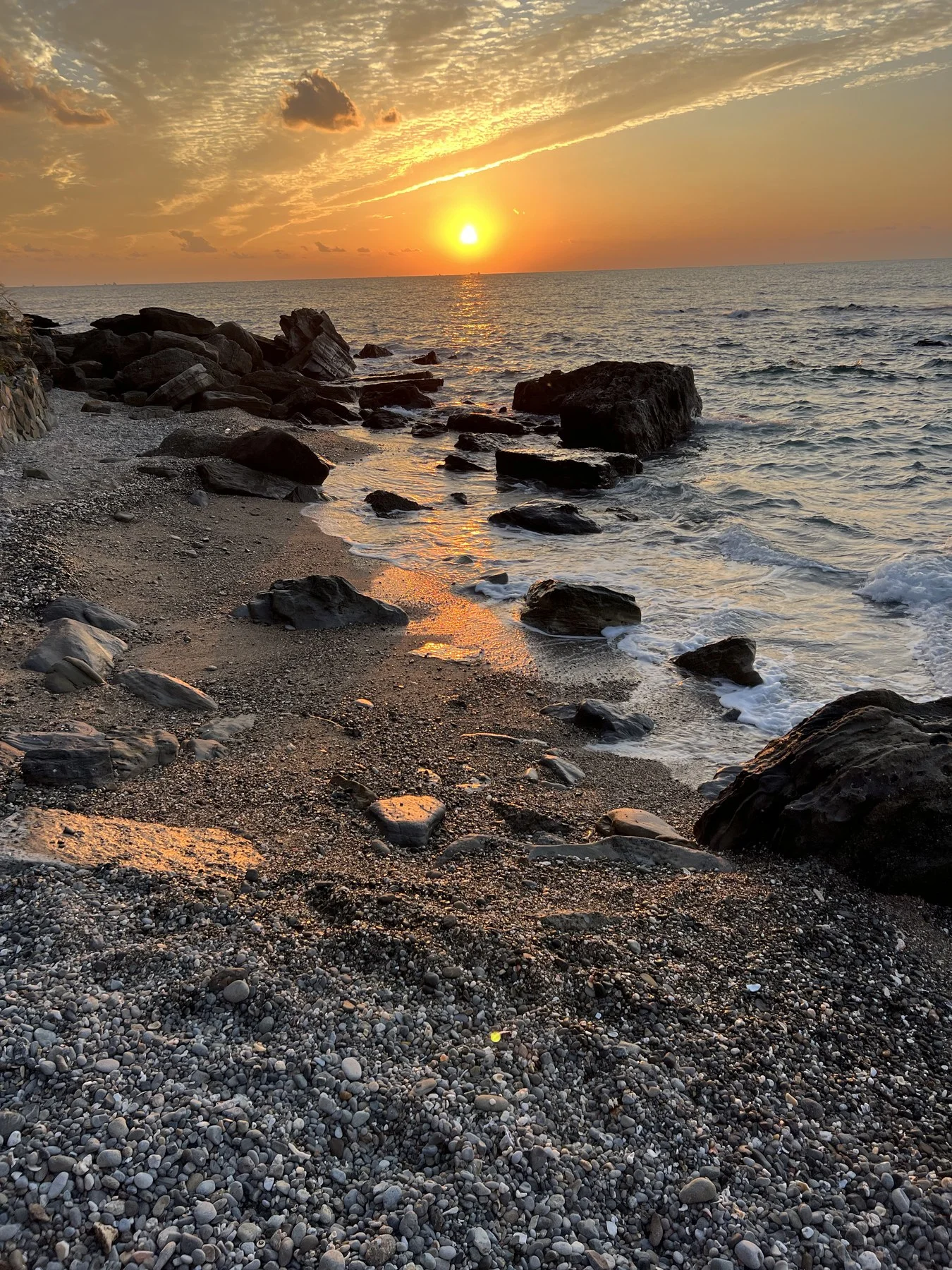
The Coast Home
What Remains
The hachidō thesis argues that sustained attention to a single recurring form — pursued over years, across geographies, under the discipline of a repeatable protocol — constitutes a form of research that traditional scholarship finds difficult to name but cannot dismiss. The Kumano walk was, in retrospect, a proof of that argument conducted at walking pace.
Walking the ancient routes does not produce the same experience as walking them a thousand years ago. The path is sometimes paved now; the villages have electricity; bears are rarer than they once were (though not as rare as I would have liked — warning signs and news alerts were a persistent feature of the route). But the fundamental operation — sustained embodied movement through a landscape that demands attention — is structurally identical. Bashō walked to learn from the pine. The practice walks to learn from the 8. The method is the same.
What remained, at the end of ten days: around a hundred new 8s in the archive. A few Still Warm encounters — mostly crabs, a couple of other forms. Many hours of voice memos. A stress fracture in the foot, as it turned out — painful and known by the final days, walked through regardless, and only named after returning to Sydney. Not something to stop for. Weeks later: a CAM boot at the MARes winter school on Hydra, with Ionian University and the Athens School of Fine Arts. The walk still present, still making itself known. A reminder — not the first, across twenty-odd countries of hachidō so far — that the 8s exist differently in different places. The forms, the surfaces, the contexts change. The heart of the practice doesn't. Wherever there are surfaces and numbers and a body willing to walk and look, the encounter is available.